GET TO KNOW MapRI
Our Core Values
- To Provide geospatial data and solutions required by government agencies, non-governmental organizations (NGOs), and the private sector in intervention programs for climate change, sanitation, and hygiene initiatives to ensure sustainable development in Uganda and Sub-Saharan Africa.
- Train government agencies, non-governmental organizations (NGOs), education institutions, and the private sector on the application of Geographic Information Systems (GIS) and Remote Sensing techniques, to address sustainable development challenges.
- Build a resilient network of mappers that can respond to and manage the humanitarian, environmental, social, and economic needs of our communities at a local, national, regional, and global scale.
- Liaise with the private sector, civil society, and government in implementing national development plans and advocacy for better services for underprivileged communities.
- Raise awareness and promote an active dialogue among the communities on the SDGs with a view to creating a better world for disadvantaged groups of people through public lectures, seminars, workshops, research, publications, and mapping events.
Our Vision
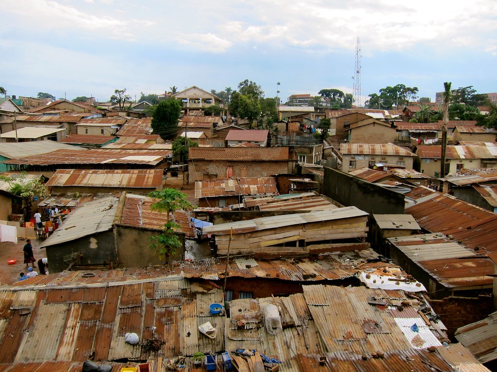
We envision a sustainable Uganda where all residents have equal access to opportunities and services.
Our Mission
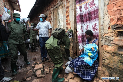
To improve livelihoods among residents in a sustainably managed environment through research and development, environmental conservation and restoration, and providing open data and geo-information.
The Genesis
Our History
MapRI Initiative Uganda started in March 2020 as Resilience Mappers Uganda during the first COVID-19 outbreak. With support from the Humanitarian OpenStreetMap Team (HOT), the group trained volunteers to collect geospatial data on community facilities through OpenStreetMap. The data helped the Office of the Prime Minister plan relief food distribution for vulnerable urban groups like motorcycle riders, taxi operators, and casual workers.
In 2021, the team received the HOT Summit Grant 2020 to expand data collection in informal settlements, addressing gaps identified by KCCA and local leaders. Field teams mapped schools, health centers, dumpsites, and other facilities, producing public dashboards and maps later shared with community organizations such as ACTogether.
That same year, Resilience Mappers hosted its first GIS Bootcamp, training over 80 participants in QGIS fundamentals.
Now registered as a non-governmental organization, MapRI Initiative Uganda continues to advance climate action, open data, and technology-driven solutions that strengthen community resilience, supported by continued grants from the Humanitarian OpenStreetMap Team and UNDP under the Youth4Climate Initiative.